+91 9340711175
info@tigerjourney.in
© 2020 All Rights Reserved

Bandhavgarh national park
How to Get there?
![]() 04 hours away from Jabalpur Airport – accessible by
flights from New Delhi, Mumbai and Bangalore.
04 hours away from Jabalpur Airport – accessible by
flights from New Delhi, Mumbai and Bangalore.
Type of Safari at the Park?
![]() Half-Day Jeep Safari (Morning: 05 hrs / Afternoon:
03 hrs)
Half-Day Jeep Safari (Morning: 05 hrs / Afternoon:
03 hrs)
![]() Full-Day Jeep Safari (Dawn to Dusk)
Full-Day Jeep Safari (Dawn to Dusk)
History & Overview
Bandhavgarh National Park is a park with a rich historical past. Prior to becoming a national park, the forests around Bandhavgarh had long been maintained as a Shikargah, or game preserve, of the Maharajas and their guests.
In 1947, Rewa state was merged into Madhya Pradesh and Bandhavgarh came under the regulations of Madhya Pradesh. The Maharaja of Rewa still retained the hunting rights. No special conservation measures were taken until 1968, when the area was constituted as a national park. Since then, numerous steps have been taken to retain Bandhavgarh National Park as an unspoilt natural habitat.
Project Tiger was constituted in 1972, and then the Wildlife Protection Act of 1972 came into force. It was realized that protection of just the 105 km2 of prime Bandhavgarh habitat was not enough, so in 1982 three more ranges were reduced, namely Khitauli, Magdhi, and Kallawah were added to the Tala range (the original Bandhavgarh National Park) to extend the area of Bandhavgarh to 448 km2. As Project Tiger increased its activities and area of influence, Bandhavgarh was taken into its fold in 1993, and a core area of 694 km2 was established including the previously named ranges and the Panpatha Sanctuary along with a buffer area of 437 km2 which was declared as the Bandhavgarh Tiger Reserve.
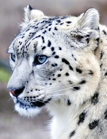
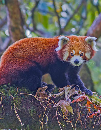
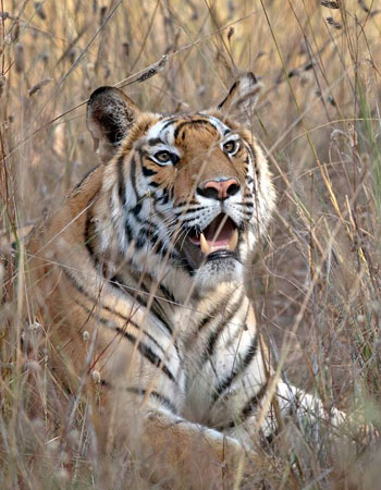
Flora and Fauna
| Wildlife | Birds |
|---|---|
| Royal Bengal Tiger | Painted Spurfowl |
| Leopard | Comb Duck |
| Jungle Cat | Common Teal |
| Indian Wild Dog | Malabar Pied Hornbill |
| Jackal | Lesser Whistling Duck |
| Sloth Bear | Blue Bearded Bee Eater |
| Rhesus Macaque | Pheasant Tailed Jacana |
| Sambar | Stork Billed Kingfisher |
| Barking Deer | Plum Headed Parakeet |
| Wild Boar | Yellow Crested Woodpecker |
Geography and Climate
| Altitude | 440 to 811 m above mean sea level |
| Vegetation | Tropical moist deciduous, dry deciduous and scrub |
| Water Resources | Son, Umrar rivers and numerous rain fed streams |
| Core | 624 sq. km |
| Buffer | 537 sq. km |
| Longitude | 80 47’ 15” to 81 11’ 45 E |
| Altitude | 440 mts to 810 mts above sea level |
| Rainfall | 1175 mm |
| Temperature | Min: 2 C ; Max: 44 C |
Enquire Tour
Tours
National Parks


Post - Tala, Bandhavgarh National Park, District - Umaria, Madhya Pradesh, Pin code - 484664
+91 9630507774, +91 9340711175Email : info@tigerjourney.in
© 2020 All Rights Reserved